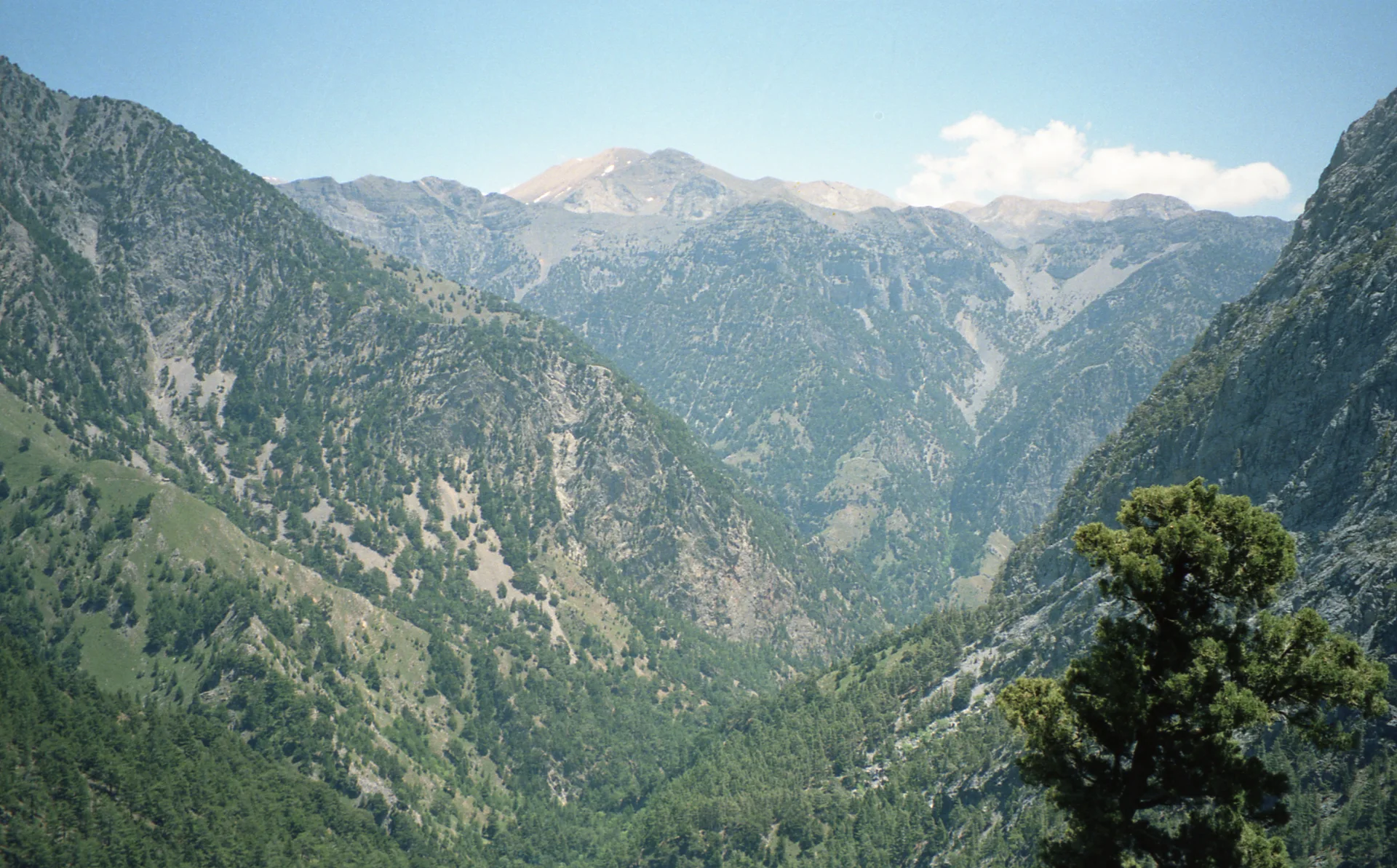
Samaria Gorge
Samaria is a full-day hike of around 16 km to Agia Roumeli. Check opening, weather and the ferry or transfer back before setting out.
Today: good for hiking during the day
15 °C · Wind 20 km/h · Rain 0 %
Weather data by Open-Meteo.comFor guidance, not a safety guarantee.
How this place fits into a Crete day
Samaria is a full-day decision: roughly 16 kilometres through the national park, a major descent and an organised journey back all require planning. If this long gorge hike is the purpose of your day, do not squeeze it between beach and town stops. Check official opening status, closures, weather and ferry or transfer logistics before starting.
- Time on site
- 360–540 minutes
- Walking
- about 360 minutes
- Road access
- paved
- Crowds
- often busy
Strong if you want
- • hiking
- • history
- • nature
Less suitable if
- • you want a short gorge between other stops. The full Samaria crossing is a long hike, with the onward journey from Agia Roumeli to arrange as well.
What can change the decision
For your actual day we also check your starting point, travel date, real driving time and how this place works with your other stops.
More about this place
Samaria is not a stop to squeeze between a beach and an old town. The classic crossing from Xyloskalo to Agia Roumeli covers roughly 16 kilometres and effectively makes hiking the main purpose of the day. The trail includes rocky terrain and substantial descent, while the finish does not offer a simple drive back to your own car because Agia Roumeli is reached only by boat or trail.
That logistics chain is part of the decision. The northern entrance at Xyloskalo is accessible by road, but the usual through-hike finishes on the south coast. Ferry and onward transfer therefore need just as much thought as water, footwear and fitness. Choosing Samaria means choosing a complete day structure with very clear start and end points, not merely adding another gorge to a list.
Samaria is a national park, and access can be restricted at short notice because of weather, natural hazards or high fire risk. Official notices therefore belong in the same-day check. Last year’s sunny photograph has roughly the same authority during a closure as a particularly confident rock.
We recommend Samaria only when the major hike itself is the goal and the return logistics fit the plan. It is too dominant for a mixed swim, culture or sightseeing day. When that long national-park crossing is exactly what you want and current conditions allow it, the better decision is to give it the whole day rather than squeeze it into an overloaded wish list.
Before you set off
Getting there
Road access reaches the northern Xyloskalo entrance near Omalos; the usual through-hike ends at Agia Roumeli and requires ferry/transfer logistics for the return. Check official opening and closure notices before departure.
Check the latest weather before you go.
Sources, freshness & corrections
Good to know before you go
Evidence basis
These signals apply only to the areas named below — they do not automatically verify every statement on this page.
Editor-confirmed source evidence
- Location & coordinates
Source class: specialist source
First-hand knowledge does not mean the whole page was physically verified on the displayed review date. Changing local conditions remain explicitly changeable.
Change history
We show only editor-confirmed changes to planning-relevant details. Internal notes and previous values intentionally remain private.
- Verified changeAccessLocationSource-backedOfficial sourceSpecialist source
Editorial responsibility & corrections
Our public place and guide pages follow a documented review and transparency standard.
Reports are reviewed manually. A report never changes published content automatically.
Plan your Crete day
Add your starting point, travel date and preferences. We will check whether this place fits your day, alongside stops that make sense together.